Victoria Waterfalls Wallpapers
>> Friday, July 1, 2011
Victoria Falls (also known as Mosi-oa-Tunya, which translates to "the smoke that thunders" in the language of the Kololo Tribe, which were present in the 1800s) is possibly the largest single-entity (that distinction is important) waterfall in the world. David Livingstone, the first European to see the falls, named it in honor of Queen Victoria in 1855. I had read that he was so awestruck by the sight of the falls that he said, "scenes so lovely must have been gazed upon by angels in their flight."
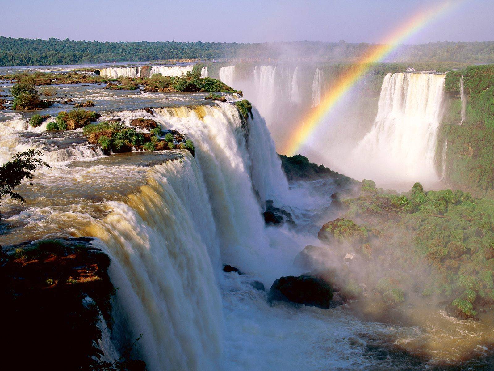
Victoria Falls is what Julie and I consider one of the "Big Three" (the other two being Iguazu Falls and Niagara Falls).
In fact, it's a UNESCO World Heritage site as it boasts some mind boggling dimensions. The falls itself is basically where the mighty Zambezi River drops its entire width (about 1.7km or just over a mile) over a 108m vertical wall into a narrow gorge. The volume of water over the falls typically ranges between 300-3000 cubic meters per second. The annual mean volume is said to be just over 1000 cubic meters per second or 38,000 cubic feet per second or 1 million liters per second. Mist generated by the falls can be seen and felt from several kilometers away, and we could attest to that fact because we were able to see the mist from as far away as Livingstone, which was some 11km from the falls.
But given the size of the falls, there is no one all-encompassing view of the falls or even sections of it from the ground. To get that, we had to take to the air.
Edge-on view of the falls from the Zambia sideIn the vicinity of Victoria Falls, the Zambezi River also marks the political boundary between Zambia and Zimbabwe. Therefore, we had to put up with the nuissance of paying for Visitor Visas on each side that we visited (which was much more expensive on the Zambia side than on the Zimbabwe side).
The falls plunges into a narrow gorge. Therefore, all the walkways and viewpoints (with the exception of Livingstone Island) are across the misty chasm directly opposite the falls. This creates a situation where in high flow, the mist from the falls has nowhere to go but up and rises well higher than the lookouts. In our experience, the rising mist eventually fell back to the ground as if we were caught in a nonstop downpour, and this was what made wearing a poncho a must in order to prevent our clothing, ourselves, and most importantly our cameras and other electronics from getting drenched.
Edge-on view of the falls from the Zimbabwe sideThe falls is also visible from the Livingstone Memorial Bridge, which spans the river between the border posts of both Zambia and Zimbabwe.
What type of experience you might get at the falls heavily depends on timing.
Come at a time when the Zambezi River is in high flow and nearly all viewpoints become a misty mess obscuring views and drenching onlookers. This was the condition the falls were in during our visit in May 2008. Though the falls may be the most impressive at this time, we found the photography and the viewing experience in general from the ground a bit difficult. It turned out that this was the time to fork over the money and see the falls from the air, where we truly appreciated its immense scale and got around the problem of its mist obstructing views.
Come at a time when the Zambezi River is in low flow and the falls segments into several smaller, narrower waterfalls exposing the immense basalt wall underneath. This is the time when more activities concerning the falls become available though the magnitude and visual impact are dimished. If we're fortunate to come back, I would love to return late in the Summer where I would expect to have this totally different experience than what we had in late Spring.
When conditions permit (it wasn't for us), Livingstone Island (the island where David Livingstone first gazed upon Vic Falls) allows onlookers a different edge-of-the-world view of the falls. There's even a Devil's Pool where it's said that you could cheat death and literally swim right on the edge of the 108m drop!
Notice the zig-zagging chasms (one spanned by the bridge, one made up of the falls, and a new one forming just upstream)Like all waterfalls, the water's flow recedes the underlying layer of rock making it "move" upstream over time. What makes Victoria Falls unusual and different from other waterfalls (like Niagara and Iguazu) is that instead of moving continuously upstream over time, this waterfall creates cracks in its underlying basalt wall at a different angle than the cliff at the brink of the falls. That angled crack eventually forms a new chasm intercepting the flow of the Zambezi River (becoming the new brink of the falls) and leaving the remaining knife-like cliff that once supported the edge of the falls bare and exposed.
Over time, the result is a series of gorges (currently there's some 6 or 7 of them with the oldest ones being furthest downstream) zig-zagging up to the falls' current position. This process is still ongoing as a new crack has started to form on the Zimbabwe (western) side near the section known as the Devil's Cataract.
Can you tell which section is which?Also like its other Big 3 counterparts, Victoria Falls has named sections such as the just mentioned Devil's Cataract, the Main Falls, Horseshoe Falls, and Rainbow Falls. They're typically segmented by islands above the brink of the falls (namely Cataract Island and Livingstone Island). However, we thought these named waterfalls blended together (especially since it was during high flow) into a singular wall of water. I'm pretty sure the average visitor may not even be able to tell let alone care about which section is which (despite the help of signs).
While I can go on and on about various aspects of the falls, perhaps photos have more impact. So without further adieu, check out the photos below to see more of this world wonder.


Read more...
Victoria Falls is what Julie and I consider one of the "Big Three" (the other two being Iguazu Falls and Niagara Falls).
In fact, it's a UNESCO World Heritage site as it boasts some mind boggling dimensions. The falls itself is basically where the mighty Zambezi River drops its entire width (about 1.7km or just over a mile) over a 108m vertical wall into a narrow gorge. The volume of water over the falls typically ranges between 300-3000 cubic meters per second. The annual mean volume is said to be just over 1000 cubic meters per second or 38,000 cubic feet per second or 1 million liters per second. Mist generated by the falls can be seen and felt from several kilometers away, and we could attest to that fact because we were able to see the mist from as far away as Livingstone, which was some 11km from the falls.
But given the size of the falls, there is no one all-encompassing view of the falls or even sections of it from the ground. To get that, we had to take to the air.
Edge-on view of the falls from the Zambia sideIn the vicinity of Victoria Falls, the Zambezi River also marks the political boundary between Zambia and Zimbabwe. Therefore, we had to put up with the nuissance of paying for Visitor Visas on each side that we visited (which was much more expensive on the Zambia side than on the Zimbabwe side).
The falls plunges into a narrow gorge. Therefore, all the walkways and viewpoints (with the exception of Livingstone Island) are across the misty chasm directly opposite the falls. This creates a situation where in high flow, the mist from the falls has nowhere to go but up and rises well higher than the lookouts. In our experience, the rising mist eventually fell back to the ground as if we were caught in a nonstop downpour, and this was what made wearing a poncho a must in order to prevent our clothing, ourselves, and most importantly our cameras and other electronics from getting drenched.
Edge-on view of the falls from the Zimbabwe sideThe falls is also visible from the Livingstone Memorial Bridge, which spans the river between the border posts of both Zambia and Zimbabwe.
What type of experience you might get at the falls heavily depends on timing.
Come at a time when the Zambezi River is in high flow and nearly all viewpoints become a misty mess obscuring views and drenching onlookers. This was the condition the falls were in during our visit in May 2008. Though the falls may be the most impressive at this time, we found the photography and the viewing experience in general from the ground a bit difficult. It turned out that this was the time to fork over the money and see the falls from the air, where we truly appreciated its immense scale and got around the problem of its mist obstructing views.
Come at a time when the Zambezi River is in low flow and the falls segments into several smaller, narrower waterfalls exposing the immense basalt wall underneath. This is the time when more activities concerning the falls become available though the magnitude and visual impact are dimished. If we're fortunate to come back, I would love to return late in the Summer where I would expect to have this totally different experience than what we had in late Spring.
When conditions permit (it wasn't for us), Livingstone Island (the island where David Livingstone first gazed upon Vic Falls) allows onlookers a different edge-of-the-world view of the falls. There's even a Devil's Pool where it's said that you could cheat death and literally swim right on the edge of the 108m drop!
Notice the zig-zagging chasms (one spanned by the bridge, one made up of the falls, and a new one forming just upstream)Like all waterfalls, the water's flow recedes the underlying layer of rock making it "move" upstream over time. What makes Victoria Falls unusual and different from other waterfalls (like Niagara and Iguazu) is that instead of moving continuously upstream over time, this waterfall creates cracks in its underlying basalt wall at a different angle than the cliff at the brink of the falls. That angled crack eventually forms a new chasm intercepting the flow of the Zambezi River (becoming the new brink of the falls) and leaving the remaining knife-like cliff that once supported the edge of the falls bare and exposed.
Over time, the result is a series of gorges (currently there's some 6 or 7 of them with the oldest ones being furthest downstream) zig-zagging up to the falls' current position. This process is still ongoing as a new crack has started to form on the Zimbabwe (western) side near the section known as the Devil's Cataract.
Can you tell which section is which?Also like its other Big 3 counterparts, Victoria Falls has named sections such as the just mentioned Devil's Cataract, the Main Falls, Horseshoe Falls, and Rainbow Falls. They're typically segmented by islands above the brink of the falls (namely Cataract Island and Livingstone Island). However, we thought these named waterfalls blended together (especially since it was during high flow) into a singular wall of water. I'm pretty sure the average visitor may not even be able to tell let alone care about which section is which (despite the help of signs).
While I can go on and on about various aspects of the falls, perhaps photos have more impact. So without further adieu, check out the photos below to see more of this world wonder.